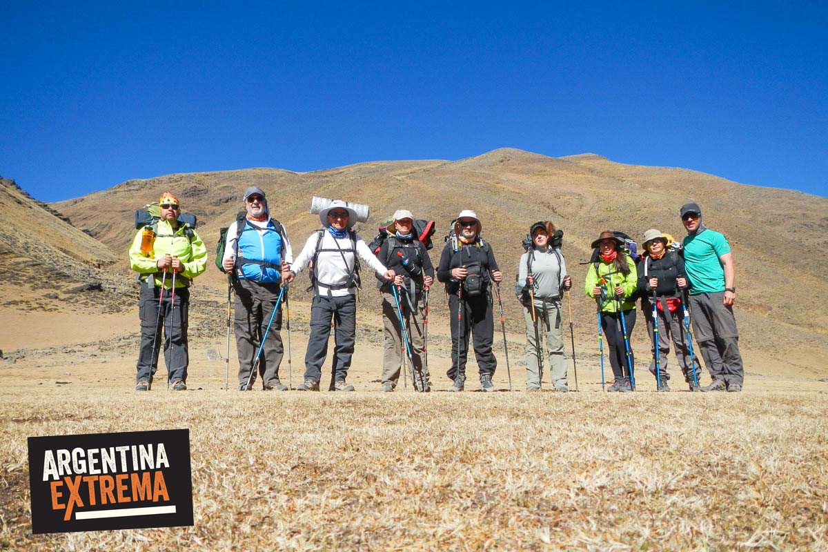
Uno de los recorridos más importantes del norte argentino


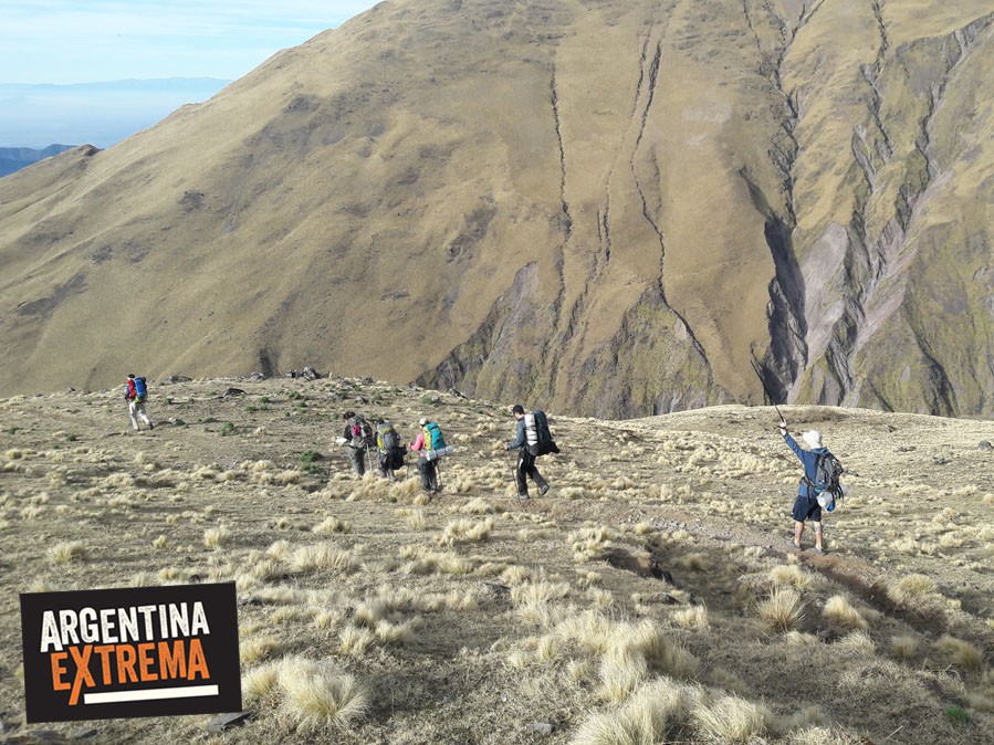
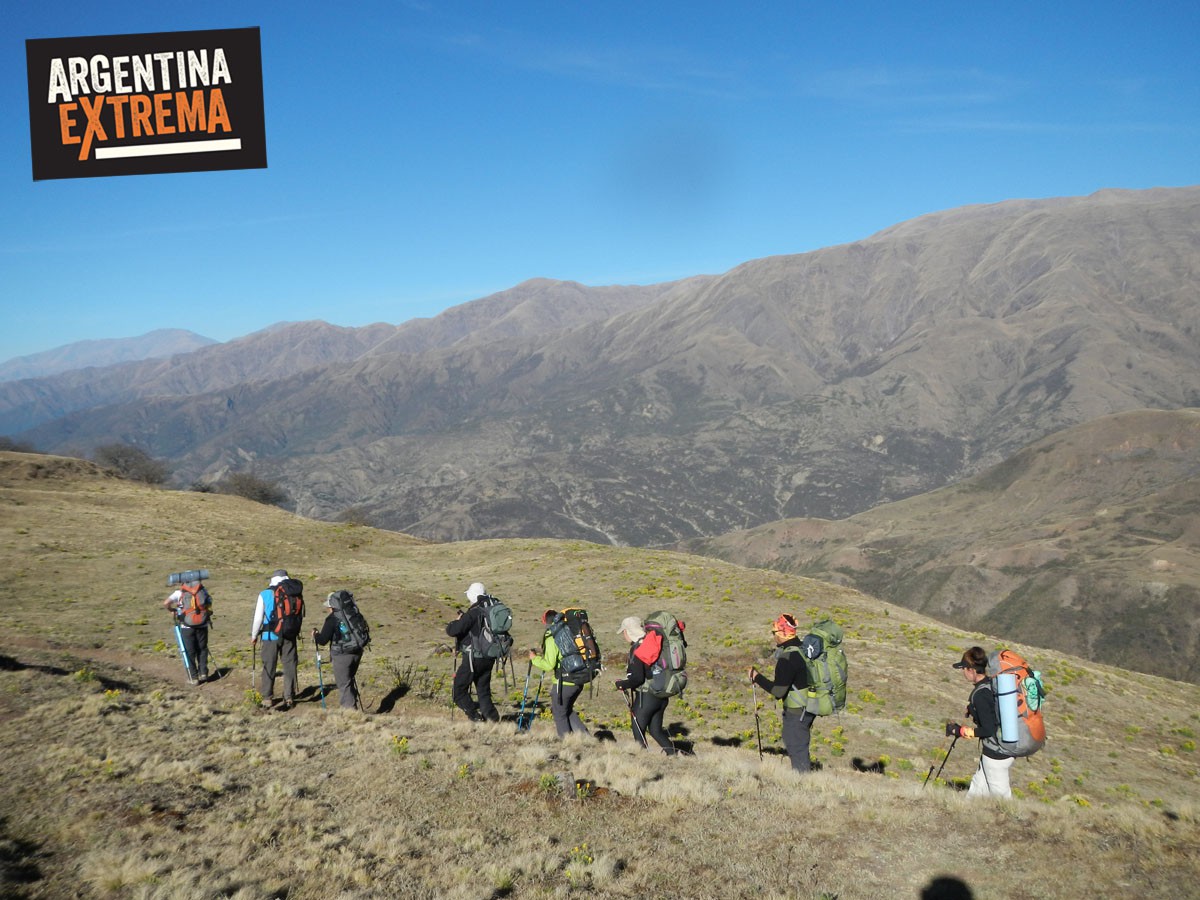
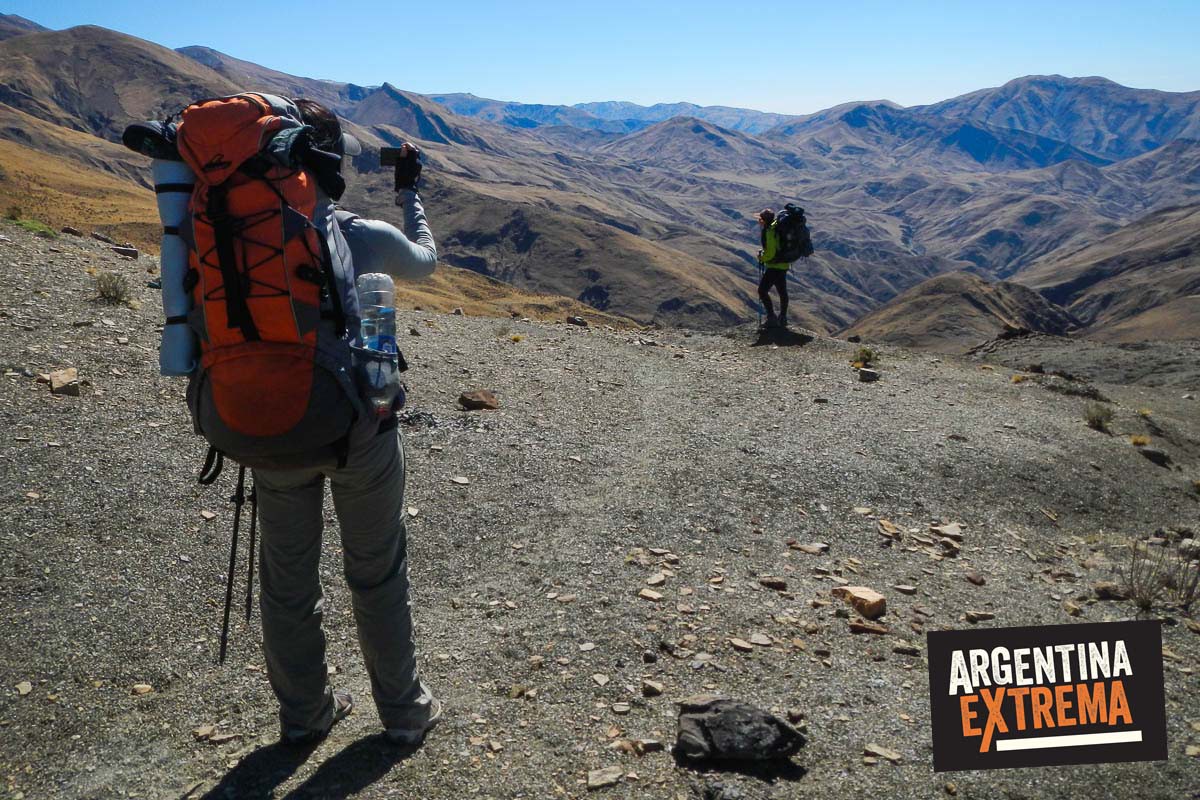
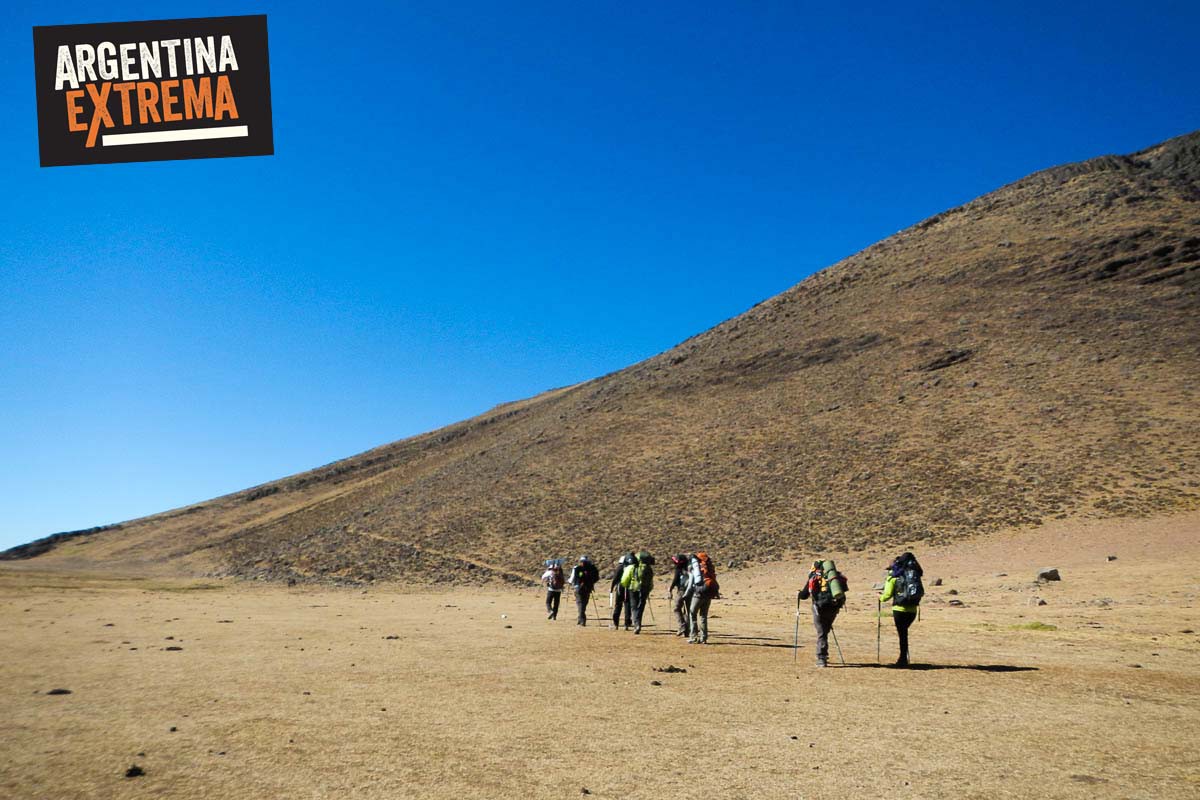
Expedición con mochila al hombro, en la modalidad de travesía (unir dos puntos distintos de una región). Los pernoctes, en zonas agrestes, son en carpa (ocasionalmente en escuelas o iglesias, dependiendo del poblado que se visite). Porteo de equipo a caballo y mulas.
Lo que aquí te presentamos es el recorrido previsto para la travesía, pero el recorrido exacto, la duración de cada etapa de marcha y la elección de itinerarios alternativos quedan supeditados a diferentes factores como condiciones meteorológicas y evaluación grupal por parte del guía.
Recomendamos dormir un dia antes en Salta para preparativos, últimos chequeos de equipo y encuentro con los guías. Noche no incluida en alojamiento en Salta (hostel recomendado).
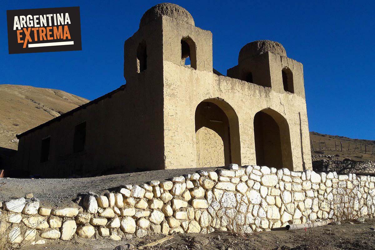
Día 1: Traslado de Salta a Lampasar, Quebrada del Toro. Primer tramo del recorrido ascendiendo las cuestas y valles hacia el norte. Atravesaremos pasos de altura a más de 3500 msnm para finalmente alcanzar el pequeño poblado de Pascha con su escuelita e iglesia. Descanso y pernocte.
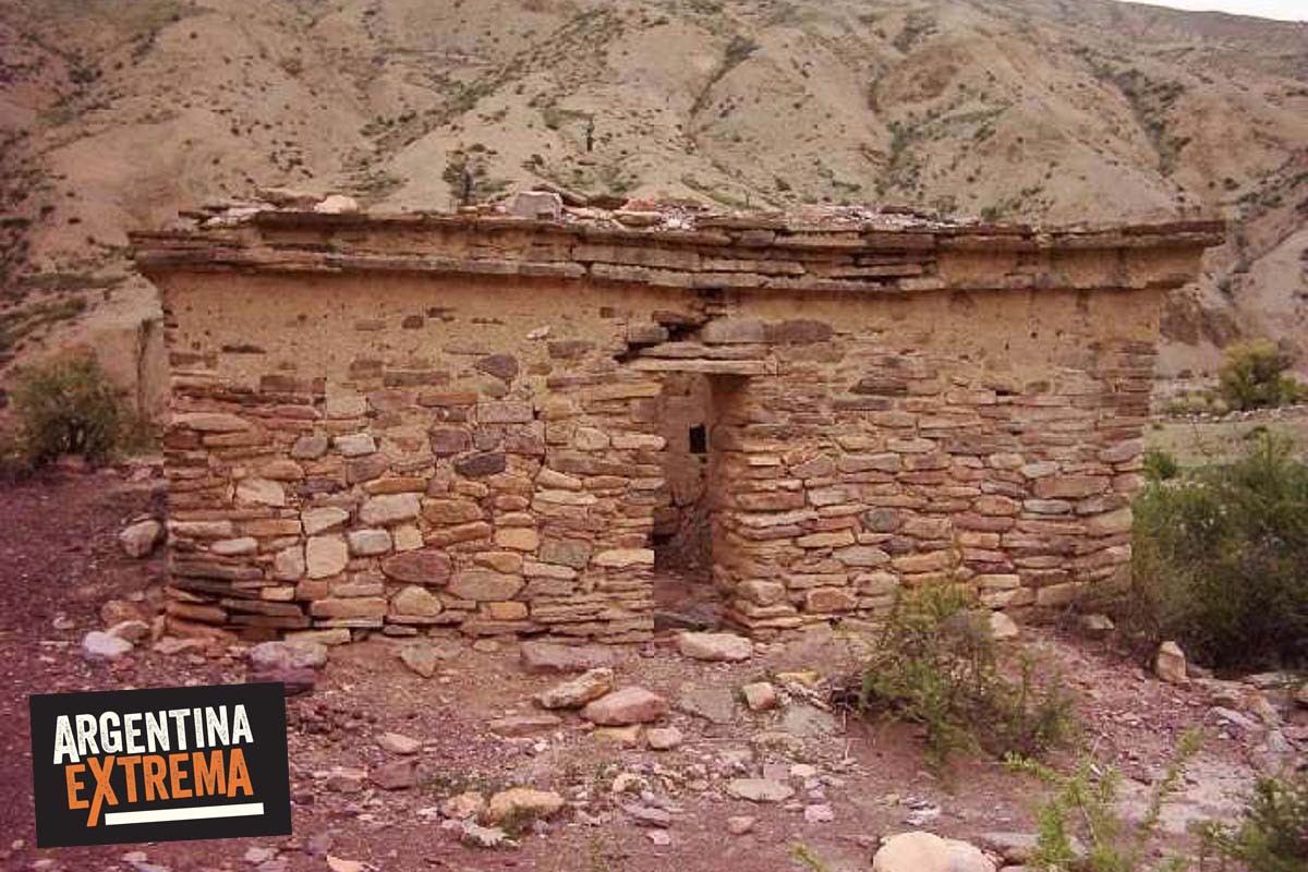
Día 2: Disfrutamos la mañana recorriendo Pascha y sus bellas vistas. Luego tendremos un tramo de 3 horas hasta las ruinas del Sillón del Inca, sitio arqueológico que alguna vez formó parte del imperio Inca, todo en descenso. Trek final al Puesto de Berta. Pernocte.
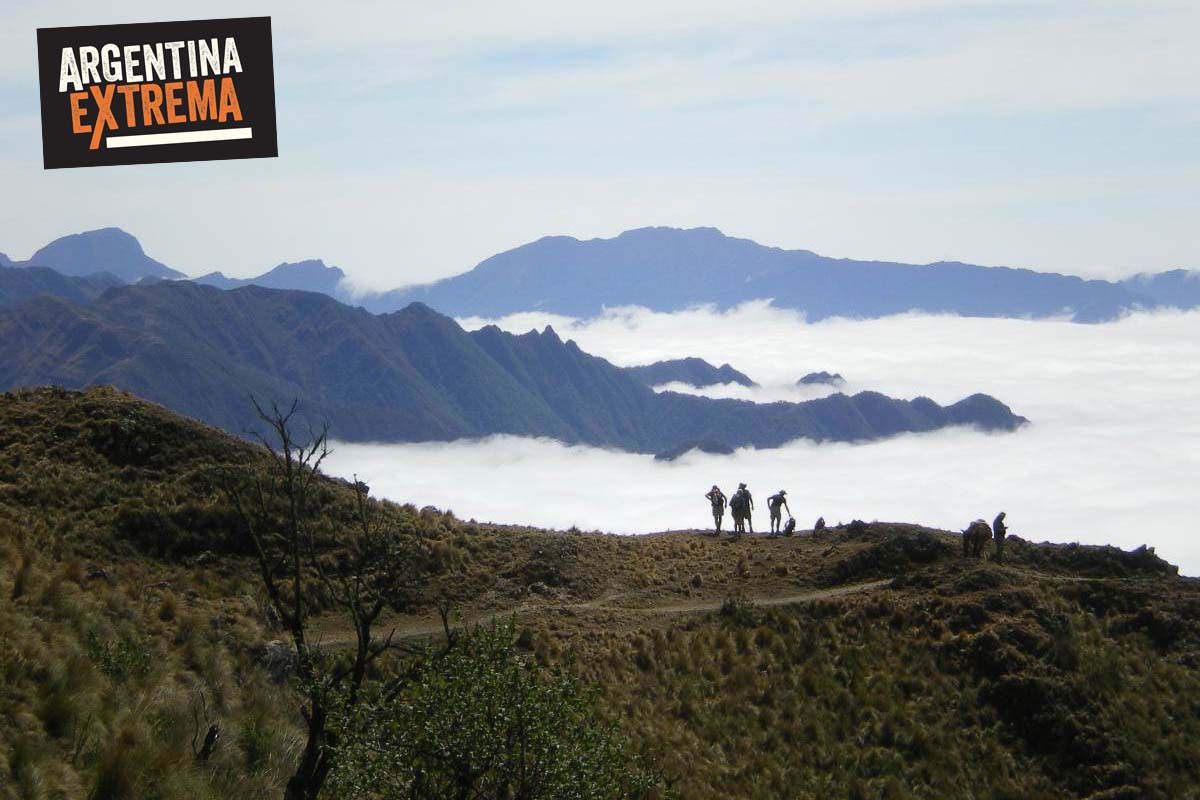
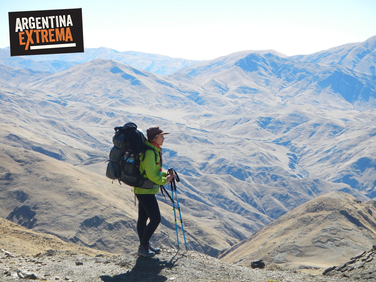
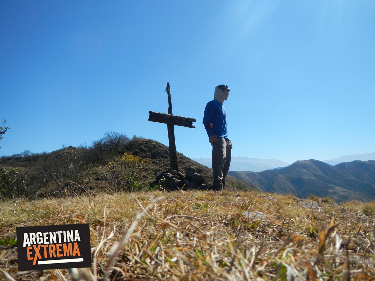
Día 3: En esta jornada, el sendero nos llevará por encima de los 3.000 metros. A los 3.410 metros en el abra de la Cruz., aquí se nos revelará una de las vistas más espectaculares del viaje. Desde este punto bien por encima de las nubes se llega a ver todo el Valle de Lerma y la ciudad de Salta. Luego el sendero desciende hacia el lugar de nuestro segundo campamento. El mismo se da en compañía de pobladores locales que tienen su puesto de producción agropecuaria. Aquí podremos compartir experiencias y conocer el estilo de vida de los actuales habitantes de la zona. Pernocte.
Día 4: Ahora el sendero nos lleva cada vez más cerca de la zona húmeda típica del bosque de Yunga. Salimos de nuestro campamento y comenzamos a descender. Las vistas aquí son completamente diferentes a las que veníamos acostumbrados de los dos días anteriores. El sendero continúa en descenso leve hasta llegar al punto donde dos ríos de montaña convergen (Confluencia). Se continúa río arriba y luego nos internamos en la Yunga. Aquí tenemos un ascenso leve primero y algo más intenso hacia el final de la caminata. Campamento.
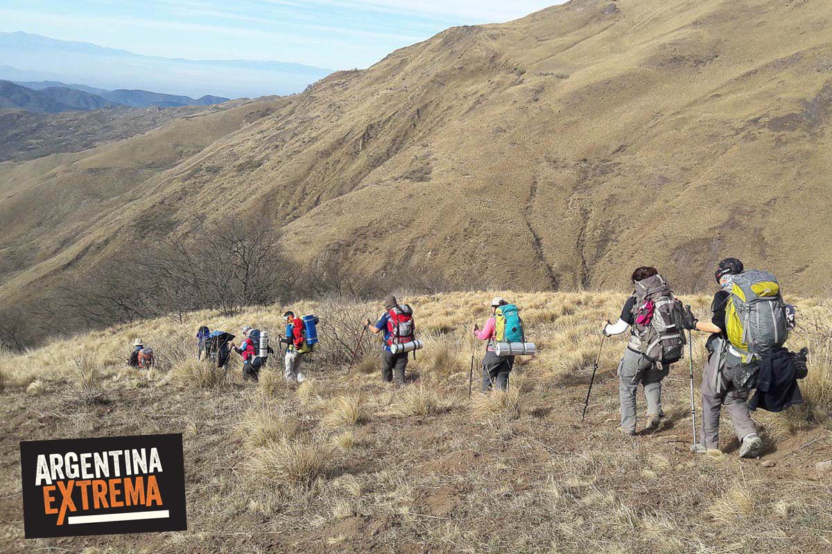
Día 5: Comenzamos el último día de nuestro recorrido, ya inmersos en la Yunga salteña. El sendero nos llevará a lo largo de paisajes de encanto, hacia la ciudad de Salta. Caminando sobre el filo de la montaña, disfrutaremos de la flora y la fauna típica de la región, en contacto cada algunos kilómetros con pobladores actuales que trabajan su ganado en esos inhóspitos parajes. La última parte del recorrido nos llevará a los piés de la ciudad de Salta, en la Quebrada de San Lorenzo. Compartiremos unas bebidas al llegar a la Quebrada, para ya finalizar el viaje regresando en nuestro transfer al alojamiento en Salta. Fin del programa.
Consultar descuento especial para alumnos y docentes en vacaciones de invierno.
Tipo de Recorrido: De Travesía (sale de un punto y llega a otro).
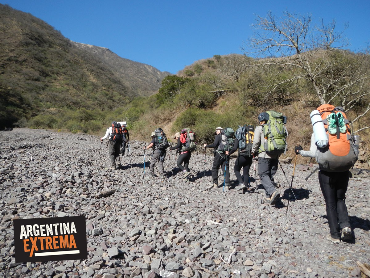
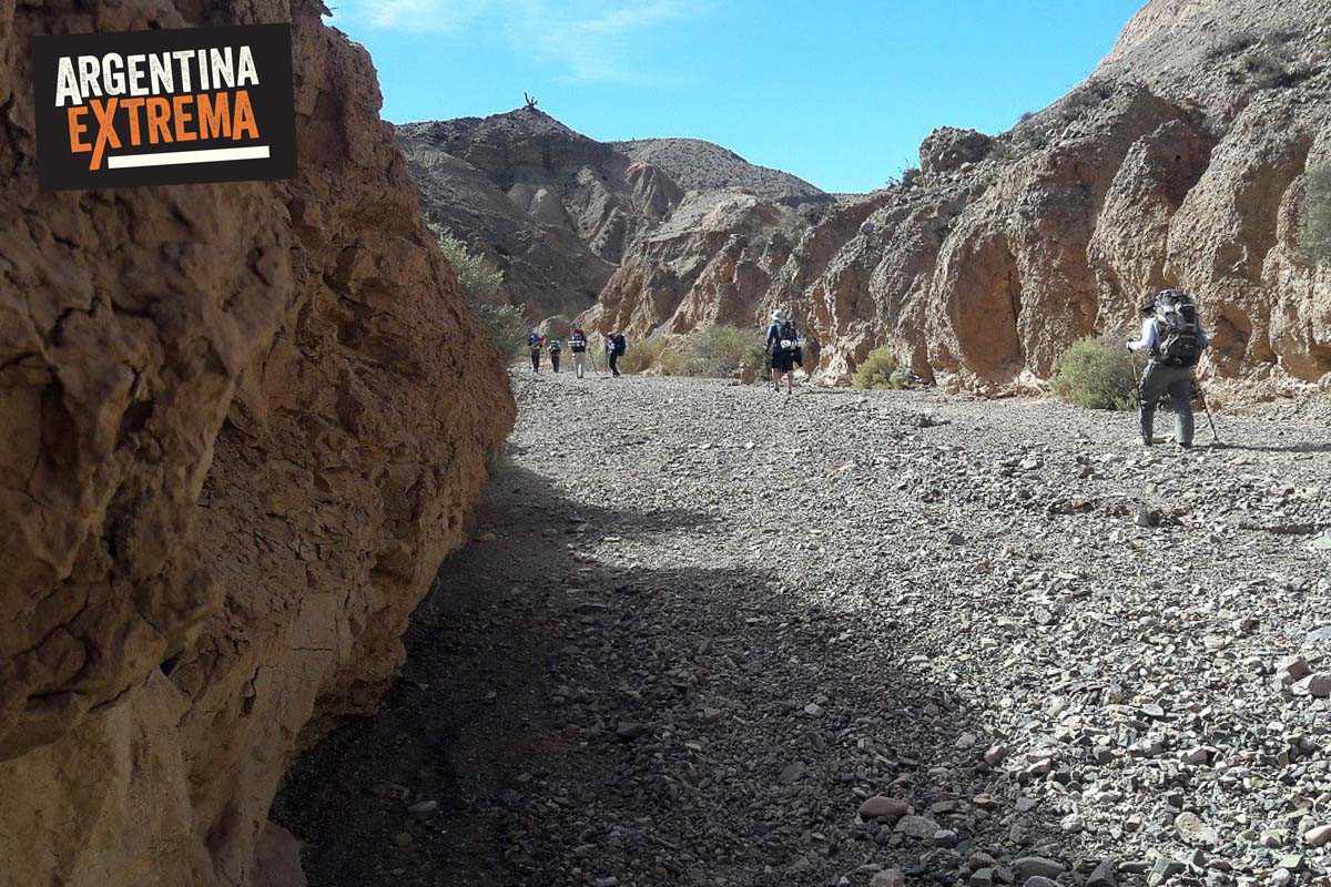
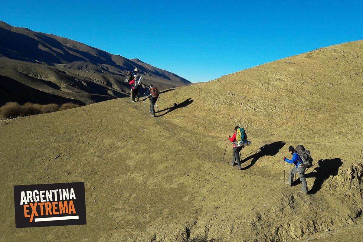
Ascensos y descensos considerables. Vadeos de río y arroyos. Pasos altos, miradores, sector con vegetación y sin.
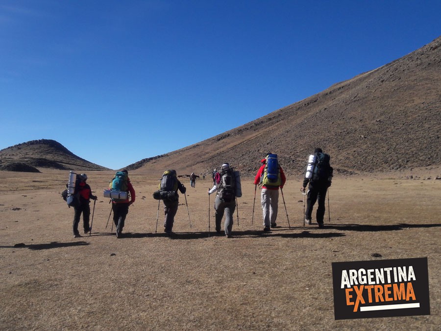
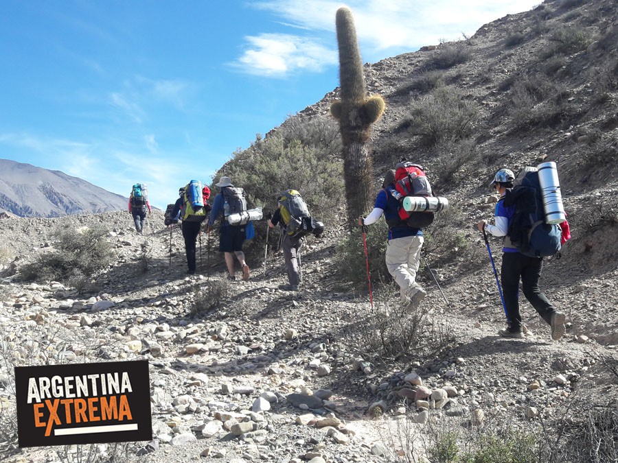
Cada uno debe cargar su propia mochila cargando su equipo (bolsa de dormir, indumentaria, otros) con entre 8 y 12 kg aproximadamente. Los animales cargan comida general, carpas, equipo de cocina y otras cosas relacionadas con el uso grupal.
Trekking de las Nubes - El Qhapaq Ñan, la ruta de los Incas
Columna vertebral del poder político y económico del Tawantisuyo –el imperio Inca- la Red caminera del Tahuantinsuyo, o el Qhapaq Ñan (en quechua = camino del Rey o del poderoso) era una red de caminos de más de 30.000 kilómetros de extensión que conectaba importantes centros de producción, administrativos y ceremoniales. Recientemente declarado Patrimonio Mundial por la UNESCO, el Qhapaq Ñan (en quechua, “camino principal”) atraviesa hoy seis países andinos. Partiendo desde Perú hacia el sur recorre parte de los territorios de Bolivia, Argentina y Chile y hacia el norte, los de Ecuador y Colombia. Estos caminos permiten remontar la huella que dejaron tras de sí los pueblos andinos, sus ejércitos y sacerdotes, sus mercaderes y caravanas de llamas que transportaban mercancías. En el norte de Argentina, uno de los tramos del Qhpaq Ñan es el que en esta travesía realizamos, en la zona de la Quebrada del Toro, Salta.
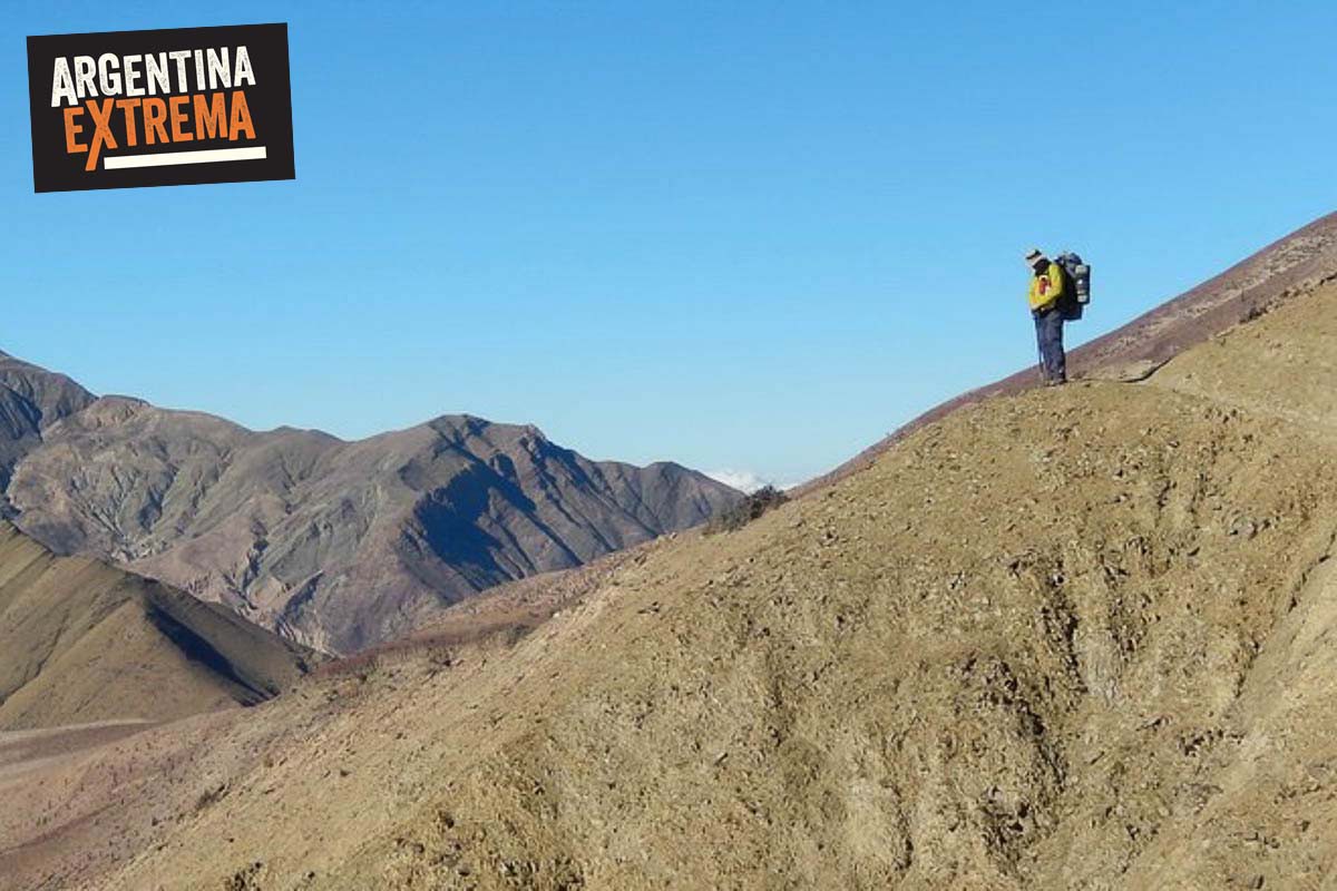
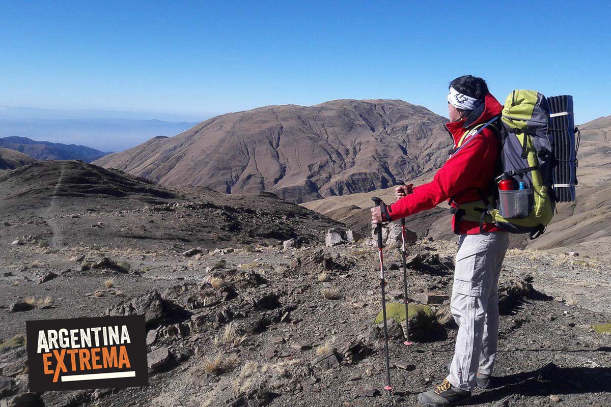
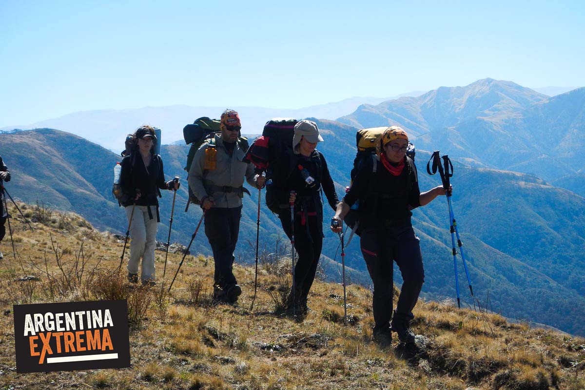
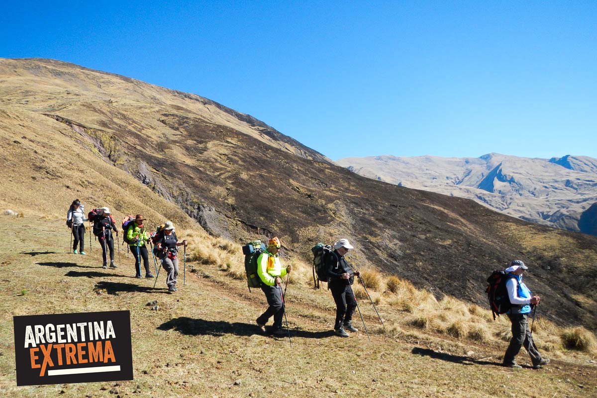
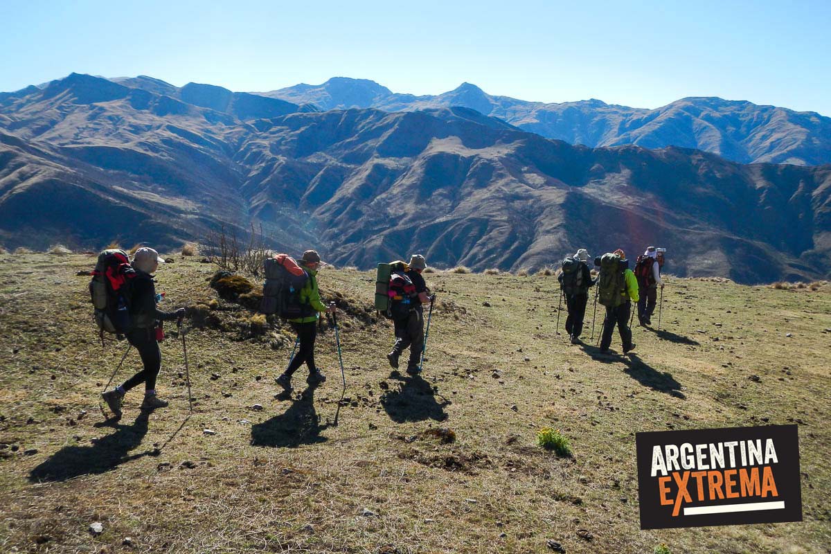
Se trata de una travesía a pie, mochila al hombro, por senderos ancestrales, laderas cubiertas de cardones, comunidades enclavadas en las montañas, cultivos en terrazas y profundos valles. Por estos lugares vive la comunidad Pascha, la simpleza de su gente y lo imponente de sus paisajes hacen de esta experiencia algo inolvidable. El circuito nace en la puna, camino a San Antonio de los Cobres, donde el horizonte se hace infinito. Nuestra aventura termina en los bosques de alisos de la parte más verde de Salta, luego de haber cruzado cordones montañosos de 4000 mts. con valles, quebradas, arroyos, comunidades, caseríos y puestos de antaño que nos transportan en el tiempo.
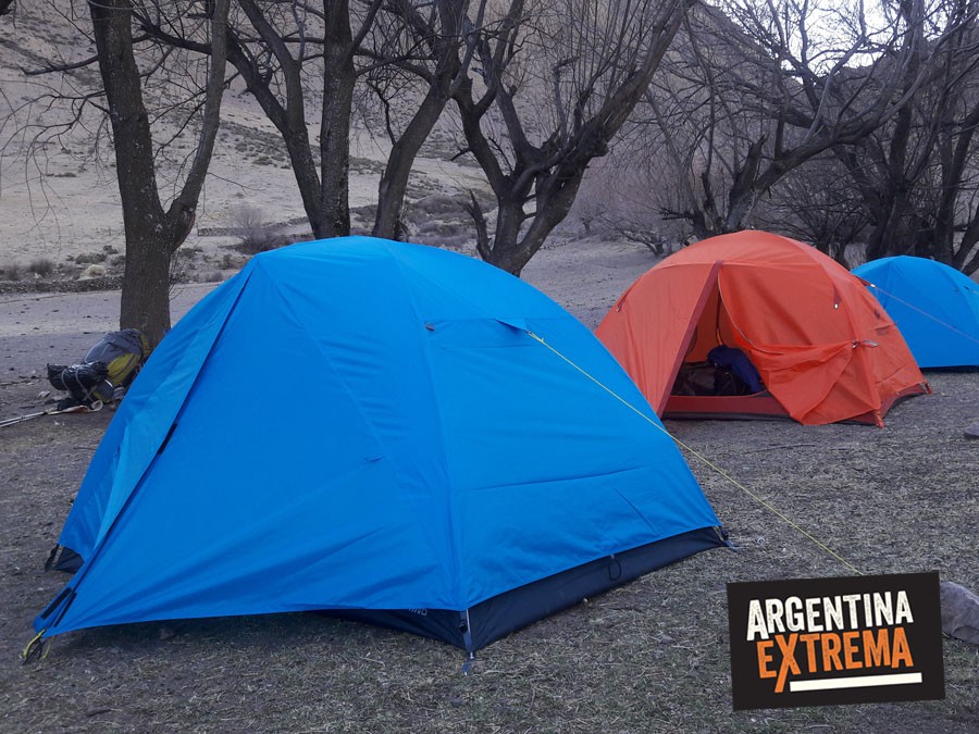
en carpas tipo iglú, en campamentos agrestes, junto a puestos de lugareños, en la montaña.
 |
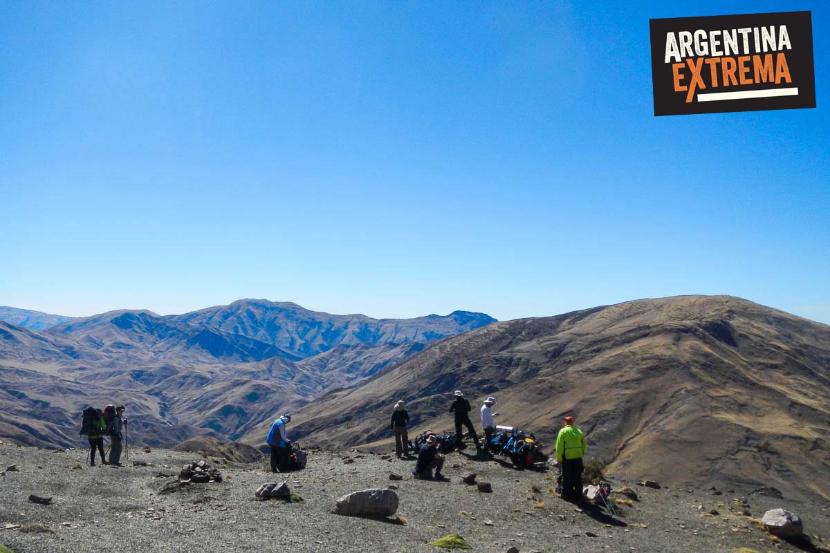
En general tenemos un sistema de caminar unas 3 o 4 horas por la mañana; hacemos una gran parada de almuerzo y caminamos otro tanto por la tarde hasta el lugar donde armamos el campamento.
El norte argentino se caracteriza por poseer una importante amplitud térmica (calor durante el dia y fresco en las noches y madrugadas). También allí existe el denominado “Invierno Boliviano”. Esto significa que en el verano nuestro (Diciembre a Marzo) allí es temporada de lluvias. En el invierno nuestro no llueve pero la amplitud térmica se hace notar un poco más y el frío en las noches y madrugadas puede hacerse sentir, sobre todo en los campamentos de altura (a más de 2500 msnm) como dos de este recorrido.
Hay que protegerse mucho del sol con sombrero-gorro, pañuelos para el cuello, protector solar y lentes de montaña. Y para la noche es importante contar con buena bolsa de dormir y abrigo ya que la temperatura puede descender a menos de 0° centígrados.
Las bolsas o sacos de dormir deben poder soportar una temperatura de 0° Confort, como para poder descansar tranquilos. La de material de divet-pluma de ganso son las mejores, pero las sintéticas hoy en día también poseen materiales modernos y de grandes prestaciones. Se pueden alquilar.
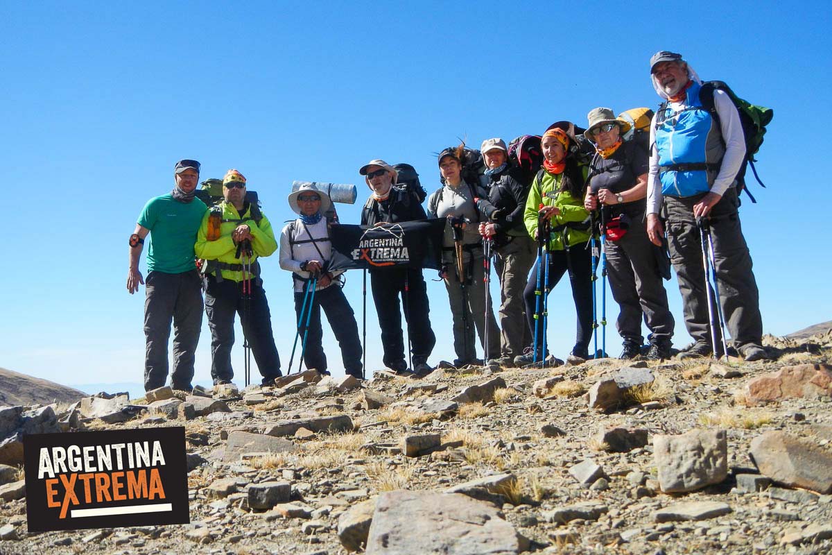
En general se trata de grupos muy heterogóneos (todo tipo de gente). Edades y sexos variados, gente que viaja sola, acompañada por algún amigo/a, parejas, familias, etc.
No es determinante que seas un deportista actualizado y que entrenes 4 veces por semana. Pero sí es importante que sepas que cuanto mejor físicamente te encuentres siempre va a ser mejor. La idea de estas aventuras es que ustedes puedan disfrutarla y no padecerla. Si no solés entrenar, salir a correr, hacer bicicleta u otra actividad aeróbica te recomendamos que te acerques a alguna clase de nuestros entrenamientos semanales asociados a las actividades de montaña. Y sino que empieces por salir a caminar con mochila cargada de no menos de 8 kilogramos y realices varios kilómetros por semana y también subas y bajes escaleras o pendientes en series de 20 minutos ininterrumpidos. Solicitanos un plan de entrenamiento adecuado.
Las carpas están incluidas dentro del programa, por parte de nuestra empresa. Pero si vos querés traer una, podés hacerlo. Solo consultanos.
En todas nuestras expediciones brindamos el servicio de comidas EN PLAN PENSION COMPLETA.
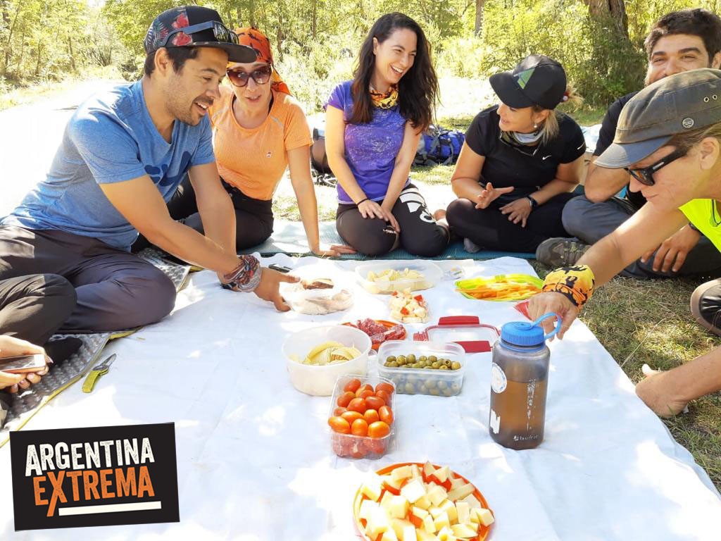
Almuerzos de marcha (comidas frias): Sandwiches de milanesa y tomate, Sandwiches de fiambre, picadas, ensaladas, tapas, etc.
Cenas: Guisos de verdura-panceta-chorizo colorado, Cazuelas de pollo y verduras, Pastas con salsas varias o estofado, Carne asada (Chivito), Chaw Fan, Pollo con arroz a la cacerola....
Desayunos y meriendas: Te, Café, Capuchino, Mate Cocido, Mate, Leche en polvo; pan, galletitas, mermelada, miel, dulce de leche; cereales, fruta.
Haz clic en cada indicador para ver detalles
Mochila: Peso / Duración de la Jornada.

Exigencia Física
Técnico: Dificultad en el Terreno / Equipo.

Fortaleza Psicológica
Exposición a la Altura
Cada aspecto se evalúa del 20% al 100%, donde:
Se requiere experiencia previa y buena condición física.
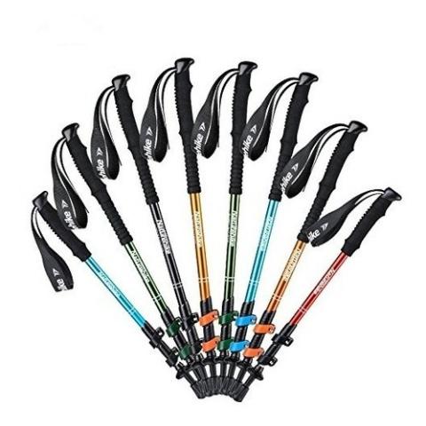 Disponible
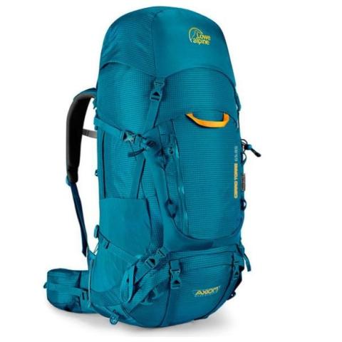 Disponible
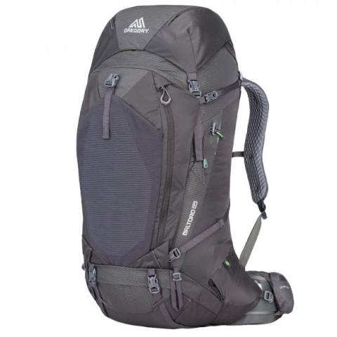 Disponible
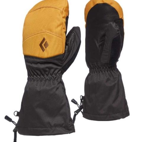 Disponible
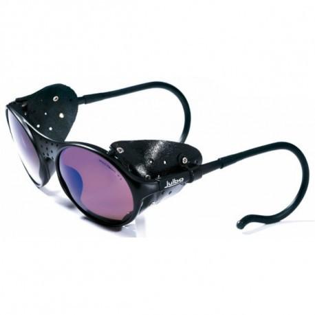 Disponible
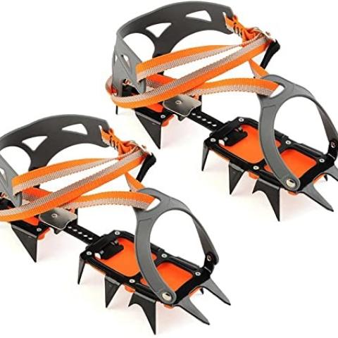 Disponible
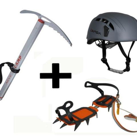 Disponible
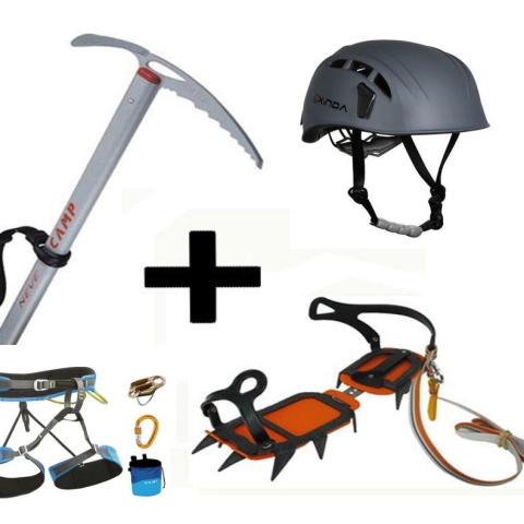 Disponible
Si tenes dudas sobre esta aventura, esperamos tu consulta!
Para una respuesta inmediata, contactanos por WhatsApp 54 9 1170623800
Te responderemos a la brevedad, así te preparás para tu próxima gran aventura 🏔️